LiDAR (Light Detection and Ranging) technology has revolutionized various industries by providing highly accurate and detailed 3D mapping and object detection capabilities. From autonomous vehicles to environmental monitoring, LiDAR has become an essential tool for businesses and researchers alike. In this article, we will explore the benefits of LiDAR, how it works, and why it is increasingly used in different fields.
What is LiDAR and How Does It Work?
LiDAR is a remote sensing technology that uses laser pulses to measure distances and generate high-resolution 3D maps of objects, landscapes, and surroundings. The system works by emitting laser beams toward a target and calculating the time it takes for the light to reflect back. This time-of-flight measurement allows LiDAR sensors to determine precise distances and create detailed spatial representations.
There are Two Main Types of LiDAR Systems:
- Airborne LiDAR: Mounted on drones, helicopters, or airplanes to scan large areas like forests, coastlines, or city landscapes.
- Terrestrial LiDAR: Installed on the ground or vehicles to scan roadways, buildings, and construction sites.
Now, let’s explore the various benefits of LiDAR technology and how it is transforming industries worldwide.
1. High Precision and Accuracy
One of the most significant benefits of LiDAR is its unparalleled precision and accuracy in mapping and object detection. Unlike traditional surveying methods, LiDAR can:
- Capture millions of data points per second.
- Provide centimeter-level accuracy in measurements.
- Work efficiently in various environmental conditions, including low light and fog.
This high precision makes LiDAR invaluable in applications like topographic mapping, land surveying, and infrastructure planning.
2. Fast and Efficient Data Collection
LiDAR technology significantly reduces the time required for data collection compared to traditional surveying methods. Whether mounted on a drone or ground vehicle, LiDAR sensors can quickly scan large areas in a matter of minutes. This efficiency is particularly beneficial in:
- Urban Planning: Quickly mapping cities and transportation networks.
- Disaster Response: Rapid assessment of affected areas after floods, earthquakes, or wildfires.
- Forestry and Agriculture: Monitoring tree density, crop health, and land use changes.
3. Works in Challenging Environments
Unlike traditional optical sensors, LiDAR can function effectively in various environmental conditions. Since it uses laser pulses instead of relying on ambient light, LiDAR can:
- Operate in total darkness.
- Penetrate vegetation, allowing mapping of forest floors and archaeological sites.
- Work in fog, smoke, or hazy conditions where cameras and satellite imagery might fail.
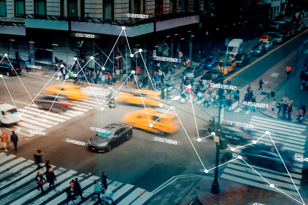
4. Essential for Autonomous Vehicles
LiDAR plays a crucial role in self-driving car technology by enabling vehicles to detect and navigate their surroundings in real-time. The benefits of LiDAR include:
- Obstacle Detection: Identifying pedestrians, cyclists, and other vehicles with high accuracy.
- Navigation in Low Visibility: Providing reliable data even in poor lighting conditions.
- High-Speed Processing: Allowing quick decision-making for safer autonomous driving.
Companies like Tesla, Waymo, and Uber have integrated LiDAR into their autonomous vehicle prototypes to enhance road safety and navigation.
5. Enhances Geographic and Topographic Mapping
Geospatial professionals use LiDAR to create highly detailed maps of landscapes, coastlines, and terrains. LiDAR is widely used in:
- Flood Risk Analysis: Mapping flood-prone areas for better urban planning.
- Coastal Erosion Monitoring: Tracking shoreline changes and sea-level rise.
- Infrastructure Development: Assisting in bridge, road, and railway construction.

6. Supports Environmental Conservation Efforts
LiDAR technology is widely used in environmental monitoring and conservation projects. Researchers and conservationists leverage LiDAR for:
- Tracking Deforestation: Monitoring illegal logging and forest loss.
- Wildlife Habitat Mapping: Identifying crucial ecosystems for species conservation.
- Climate Change Studies: Measuring glacier melt, vegetation changes, and carbon storage in forests.
7. Improves Disaster Management and Response
In emergency situations, accurate and rapid data collection is critical. LiDAR supports disaster management by:
- Assessing Damage: Providing immediate post-disaster mapping for recovery efforts.
- Identifying Hazard Zones: Mapping landslide-prone or earthquake fault areas.
- Optimizing Emergency Response: Aiding rescue teams in navigating debris-filled areas.
8. Revolutionizing Archaeology and Cultural Heritage Preservation
LiDAR has been instrumental in uncovering hidden archaeological sites that were previously inaccessible due to dense vegetation or rough terrains. Some of its applications include:
- Discovering Ancient Civilizations: Mapping buried structures and lost cities.
- Preserving Cultural Sites: Digitally documenting historical landmarks.
- Analyzing Landscape Changes: Understanding human impact on ancient environments.
9. Enhancing Construction and Infrastructure Planning
The construction industry benefits of LiDAR by using it for:
- Site Analysis: Creating 3D models of construction sites for better planning.
- Progress Monitoring: Tracking project development and identifying structural issues.
- Safety Improvements: Detecting hazardous conditions before they become critical problems.
10. Cost-Effective and Scalable Technology
Although LiDAR technology was once expensive, advancements in sensors and data processing have made it more affordable and scalable. Today, LiDAR systems are:
- Cost-effective for large-scale mapping projects.
- Easily integrated with drones and other automated systems.
- Increasingly accessible for businesses, researchers, and government agencies.
Conclusion
LiDAR technology is transforming industries by providing fast, accurate, and detailed spatial data for a wide range of applications. From autonomous vehicles to environmental conservation, the benefits of LiDAR are undeniable. Its ability to function in diverse conditions, enhance safety, and improve decision-making makes it an essential tool in today’s technological landscape.
As LiDAR technology continues to advance, we can expect even greater innovations in fields like smart cities, space exploration, and beyond. Investing in LiDAR today means embracing a future of smarter, safer, and more efficient technologies.