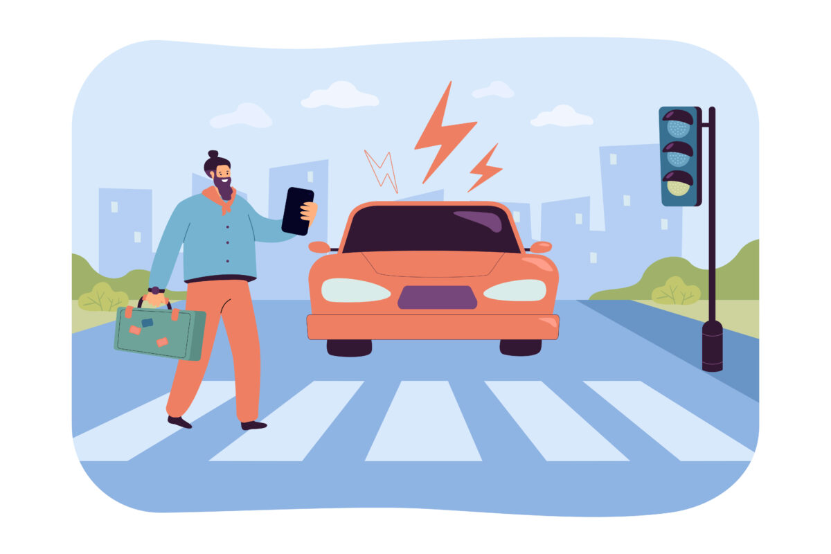
LiDAR technology gives machines the ability to see the world in 3D, but raw data alone isn’t enough to make smart decisions. That’s where AI steps in, taking point clouds, filtering out noise, identifying patterns, and giving systems the power to recognize objects and understand scenes just like humans do.
AI doesn’t just improve detection; it also helps these systems adapt to new environments, making them more reliable and accurate in real-time applications like self-driving cars, robotics, and smart city management.
The combination of AI and LiDAR creates solutions that can see better, react faster, and predict outcomes more effectively.
Preprocessing of LiDAR Data with AI
Before AI models can extract meaningful insights from LiDAR data, they need to process it thoroughly. LiDAR sensors collect vast amounts of raw data, often scattered with noise, redundant information, and environmental distortions. Preprocessing ensures that the data is cleaned, structured, and segmented properly for deeper analysis. AI plays a crucial role in each step of this preparation phase, setting the stage for accurate object recognition, classification, and scene understanding.
Noise Reduction and Signal Enhancement
LiDAR systems are sensitive to environmental disturbances. Things like fog, rain, snow, or even reflective surfaces can create noise in the data. Without proper handling, this noise could lead to false detections, poor object identification, and degraded performance in real-world applications.
AI-based algorithms are becoming the go-to solution for noise filtering. Unlike traditional statistical methods, machine learning models can learn the patterns of real-world disturbances. They distinguish between genuine signals and irrelevant noise by being trained on vast datasets. This not only cleans the data but also enhances weak signals that might otherwise be overlooked.
Deep learning frameworks such as Convolutional Neural Networks (CNNs) are increasingly used to identify and eliminate irregularities. In autonomous vehicles, for instance, AI can detect signals lost in bad weather and restore missing information. This makes LiDAR outputs more consistent and reliable, especially in challenging environments like heavy rain or dim lighting.
AI’s ability to enhance the signal also extends to reducing the impact of sensor limitations. LiDAR systems sometimes produce scattered data points when an object is partially blocked, but AI models can infer and reconstruct missing data, improving the clarity of what the sensors capture.
Point Cloud Segmentation
LiDAR data consists of millions of points arranged in a 3D space, often referred to as a point cloud. In its raw form, this cloud is just a dense collection of points without any inherent structure, making it difficult to interpret. AI-based segmentation helps organize these points into meaningful clusters, separating objects, terrain, and empty space.
AI models like PointNet or U-Net are specifically designed to handle point cloud data. These models take in 3D points and divide them into distinct segments, each representing different parts of a scene. For instance, in a street setting, segmentation separates pedestrians, vehicles, trees, and the road itself into clear categories.
This segmentation is essential for downstream tasks such as object detection or classification. Autonomous vehicles, for example, rely on precise segmentation to decide whether an obstacle is a moving pedestrian or a stationary object. AI ensures these distinctions are made accurately, even when objects overlap or appear close together.
Moreover, AI improves context-aware segmentation, meaning it doesn’t just identify individual objects but also considers their spatial relationships. This contextual understanding allows for better decision-making. For example, an AI model could identify a vehicle merging onto a highway and predict its behavior based on its proximity and speed relative to other cars.
Segmenting point clouds also reduces the computational load. Instead of processing an entire scene as a whole, AI breaks it down into smaller, manageable parts, enabling faster processing and real-time decision-making.
Object Recognition and Detection Using AI
Once the LiDAR data is preprocessed, the next crucial step is identifying and detecting objects within the captured environment. Raw point cloud data must be transformed into meaningful insights that allow systems to not only recognize objects but also differentiate between them with high precision. This is where AI algorithms truly shine, enabling advanced detection and real-time decision-making.
Feature Extraction from Point Clouds
LiDAR systems generate point clouds that provide a detailed, 3D map of the environment. However, the challenge lies in extracting useful features from these dense point clusters. AI models are designed to look beyond individual data points to understand complex shapes, textures, and depth relationships that would otherwise remain hidden.
AI algorithms, especially those based on Convolutional Neural Networks (CNNs) adapted for 3D data, can process point clouds and extract features such as curvature, surface roughness, or object edges. These features help identify whether a cluster of points belongs to a car, a pedestrian, or some other object. PointNet and VoxelNet are examples of architectures specifically optimized for such tasks, as they can analyze unstructured data without the need for transforming it into grids or regular structures.
The process of feature extraction includes evaluating spatial relationships within the cloud to group points meaningfully. AI algorithms can detect patterns like the symmetry of a vehicle, the vertical profile of a pedestrian, or the horizontal span of a road barrier. This detailed feature extraction is essential for object classification and recognition, especially in complex environments where multiple objects interact closely.
AI models can also learn from previous data to identify subtle differences in objects. For example, in smart cities, AI-powered systems can detect if a vehicle is a public bus or a private car based on learned dimensions and patterns. This precision helps systems not only recognize objects but also interpret their function or behavior.
Real-Time Detection in Autonomous Systems
AI-driven object recognition becomes especially powerful when applied to real-time detection. In autonomous vehicles, drones, and robotics, timely and accurate object detection is critical to ensure safety and effective navigation. AI allows systems to detect and react to obstacles within milliseconds, even in dynamic and unpredictable environments.
A key advantage of AI is its ability to handle occlusions, situations where an object is partially blocked by another. For instance, in traffic scenarios, a pedestrian might be hidden behind a parked car. AI algorithms, trained on diverse datasets, can predict the likely presence of such hidden objects by analyzing the visible points and contextual clues. This predictive ability is essential for real-time systems that need to make split-second decisions.
In autonomous driving, AI-powered LiDAR processing systems detect objects like vehicles, cyclists, and traffic signals in real-time, helping the vehicle decide when to slow down, change lanes, or stop. Unlike traditional algorithms, which might struggle with overlapping objects, AI models are capable of interpreting crowded scenes accurately.
Another key benefit of AI is that it enables adaptive learning. Autonomous systems can improve their detection accuracy over time by constantly learning from new data. This adaptability ensures that the system performs reliably across diverse scenarios, from open highways to congested urban roads.
AI also plays a vital role in collision avoidance systems. In drones and delivery robots, AI models continuously scan the environment to detect objects like buildings, trees, or pedestrians. These systems can reroute their path in real-time, preventing accidents while maintaining efficiency.
Classification of Detected Objects
Once objects are recognized and detected through AI-enhanced LiDAR data, the next step is to categorize them into meaningful classes. Classification assigns labels such as pedestrian, vehicle, cyclist, or tree, so that systems can react appropriately based on the type of object detected. This process is essential for applications like autonomous driving, robotics, and smart city management. AI helps systems not only detect objects but also classify them with high accuracy, ensuring the right actions are taken in real time.
Supervised Learning for Classification
Supervised learning is the backbone of most AI classification models. In this method, the AI algorithm is trained on large datasets with labeled examples. For instance, a LiDAR-based training dataset might contain point clouds tagged as cars, trucks, traffic signs, and pedestrians. The model learns to associate patterns in the point cloud data with these labels. Over time, the system develops the ability to accurately classify objects when it encounters similar patterns in the real world.
Popular algorithms for supervised learning in LiDAR data classification include Random Forests, Support Vector Machines (SVMs), and Neural Networks. However, deep learning techniques, especially Convolutional Neural Networks (CNNs) and PointNet, have proven highly effective at processing complex, unstructured point cloud data. These models don’t just learn shapes and contours but also understand how the spatial distribution of points correlates with object categories.
One challenge in supervised learning is the need for well-annotated training data. Labeling LiDAR data manually is time-consuming, as each point cloud may consist of millions of data points. However, the effort pays off by providing models with the information needed to achieve high accuracy.
Supervised learning also allows for real-time feedback loops. If the system makes a classification error like mistaking a cyclist for a pedestrian, it can use feedback mechanisms to refine its accuracy. This ability to continuously improve through exposure to more data is a major advantage, especially in dynamic environments like urban traffic.
Transfer Learning and Domain Adaptation
Building accurate classification models from scratch can be costly and time-consuming, especially for specialized applications. Transfer learning offers a solution by allowing a model trained on one dataset to be reused or fine-tuned for another task. For instance, a neural network trained to classify vehicles in one city can be adapted for use in another city, where traffic patterns or object types might slightly differ. This reduces the amount of new data required and speeds up deployment.
AI models trained on synthetic or simulated datasets are often adapted for real-world applications using transfer learning. An example would be an autonomous vehicle model trained in virtual environments being fine-tuned with real-world LiDAR data to improve performance in complex urban conditions. Transfer learning ensures the AI system performs well even if the new data differs slightly from the original training set.
Another valuable concept in this context is domain adaptation. LiDAR-based AI systems often encounter diverse environments with varying characteristics. For example, a model trained for highway driving may not perform well in crowded urban streets. Domain adaptation techniques help the model adjust to these differences by learning from smaller, environment-specific datasets. This way, the system can retain the general knowledge from the original model while incorporating the nuances of the new setting.
Domain adaptation is also useful for handling adverse conditions. For example, a system might be trained to classify objects in clear weather. However, when the same system operates in foggy or rainy conditions, its accuracy could drop. Domain adaptation enables the AI to perform reliably in these new conditions by learning from relevant examples, even with limited additional training data.
AI Techniques for Improving LiDAR Accuracy
LiDAR systems provide great data, but AI makes that data even better. By combining LiDAR with other sensors and refining how the system maps environments, AI helps these technologies work more accurately in the real world. These improvements are essential for things like self-driving cars, drones, and smart cities.
Multi-Sensor Data Fusion
AI takes data from LiDAR, cameras, radar, and GPS and merges it to create a more complete picture. Each sensor brings something unique. For example, LiDAR handles depth, cameras capture textures, and radar works in bad weather. AI ensures all this information works together, which reduces blind spots and improves the system’s ability to detect objects correctly in real time.
AI-Driven Mapping and Localization
AI plays a key role in mapping systems like SLAM (Simultaneous Localization and Mapping). It updates maps on the go and helps systems know exactly where they are, even in changing environments. This is crucial for things like autonomous cars navigating unfamiliar streets or robots finding their way in warehouses. AI ensures smooth, precise navigation without interruptions.
Sensor Modality Fusion for Comprehensive Environmental Understanding
AI also blends data from different sensors to create a more reliable view of the surroundings. When one sensor struggles, like a camera in low light, others can take over. This fusion allows AI to make better decisions by understanding not just individual objects, but the whole environment, even when conditions are tough.
Application
AI-powered LiDAR systems are transforming industries by providing precise environmental insights and enabling smarter automation. From autonomous vehicles to disaster management, these systems improve safety, efficiency, and decision-making across diverse fields.
- Autonomous Vehicles
- Smart Cities
- Drones and Robotics
- Agriculture
- Disaster Management
- Industrial Automation
- Healthcare and Assistance Systems
Verdict
AI takes LiDAR systems to the next level by refining raw data and turning it into actionable insights. It enhances everything from object detection to scene understanding, ensuring systems work smoothly in dynamic environments. Whether it’s an autonomous vehicle navigating city streets or a drone avoiding obstacles mid-flight, the combination of AI and LiDAR makes these technologies smarter, safer, and more efficient. As both AI algorithms and LiDAR hardware continue to evolve, the potential applications will only grow, shaping the future of automation and intelligent systems.